Topographic map contour background. Contour map vector. Map line of topography. Vector abstract topographic map concept with space for your copy. Wavy banners. Color geometric form
Topography Research Minimal Infographic Web Banner Vector. Topography Equipment And Device, Compass And Calculator, Satellite And Phone, Drone Illustrations

A beautiful view of Earth from space, showing the continents, oceans, and city lights.

Double exposer of constriction sector worker with a big copy space, Generative AI.

Abstract Dark background with black topo and luxury black abstract line art background vector. Topographic background and texture with monochrome 3D waves, contour Abstract topographic contours map
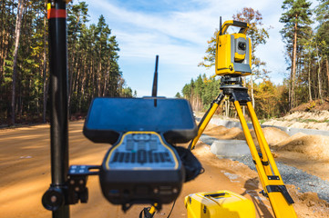
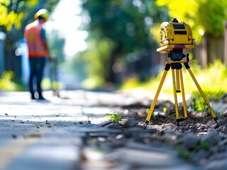
Surveyors equipment (theodolite or total positioning station) on the construction site of the road or building with construction machinery background
Modern Abstract Topographic map background with wave lines. Topographic map in contour black line on isolated white background. Vector illustration. paper texture Imitation of a geographical map shade

construction site and geodetist, cranes and scaffoldings

Crane and building site under construction against blue sky
cadastral survey
Geology Researching Onboarding Mobile App Page Screen Vector. Gyro Theodolite And And Laser Level, Field Controller And Thermal Imager Geology Equipment Illustrations

Workers are working on large construction sites and many cranes are working in the construction industry.

Engineering and surveing services line icons, signs set, vector. Engineering and surveing services outline concept illustration: flat,engineering,survey,technology,deset

Surveyor using a theodolite at construction site. International Labor Day, Workers Day, May Day. Design for banner, poster. Urban development concept

Architecture project building

Closeup portrait of a Surveyor builder site engineer with theodolite total station at construction site outdoors during surveying work
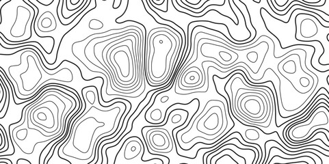
Topographic map background geographic line map with elevation assignments. Modern design with White background with topographic wavy pattern design.paper texture Imitation of a geographical map shades

Geologys depths Coal black texture sets the stage for a dark background

A black drone hovers over a golden wheat field in the rays of the setting sun. Concept: technologies in agriculture, the use of drones in agricultural technology and for crop monitoring.
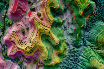
Map of agricultural fields made with LIDAR technology. GIS product made from aerial data from a drone
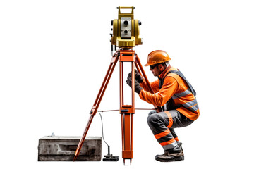
Surveyor builder Engineer with theodolite transit equipment at construction site outdoors during surveying work. Generative Ai.
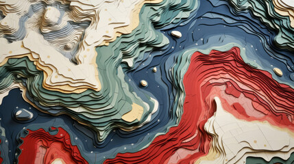
Abstract topographic map landscape. Paper cutout style of mountain and river

Geodesist measure land speak transmitter

Surface logo template. Lined field abstract logo template. Abstract stripes line wavy field pattern. Topography logo. Relief logo. Mesh surface. Geology layers. Topographic line map.

An inspector in a helmet uses a geodetic device to focus the terrain for future construction according to the project. World surveyors day concept.
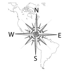
Vector compass on the map of America
Modern Abstract Topographic map background with wave lines. Topographic map in contour black line on isolated white background. Vector illustration. paper texture Imitation of a geographical map shade
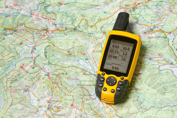
gps-geodesia

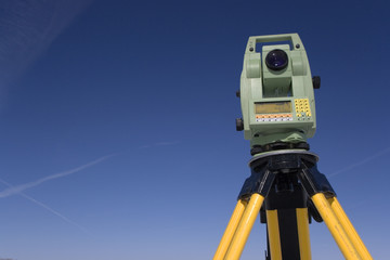
Geodetic instrument. Building under construction. Optical theodolite. Geodetic device on tripod. Construction site without anyone. Equipment for surveyor. Geodetic quality control of construction

Comprehensive Depiction of KP Index Variation Over Time: A Colorful, Detailed Graph

land surveying logo icon and vector

gold shining earth protect in the hand
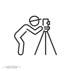
land surveyor icon, measure with alignment laser tripod, engineering survey specialist, geodesy work, thin line symbol - editable stroke vector illustration

Construction

world connection technology, generative ai

Back of a construction worker or engineer controlling a construction site with an excavator.

Surveyor engineer making measure with cloud background
Geodesy contouring and. Topographic line map. Geography

Drone with professional cinema camera flying over a blue calm river in the forests and fields at the sunset.
Map of agricultural fields made with LIDAR technology. GIS product made from aerial data from a drone

Checking the constraction site

geodetic station icon, simple vector design

A black drone hovers over a golden wheat field in the rays of the setting sun. Concept: technologies in agriculture, the use of drones in agricultural technology and for crop monitoring.

Construction engineers,Surveyor builder Engineer with theodolite transit equipment at construction site outdoors during surveying work
Topographic map contour background. Contour map vector. Map line of topography. Vector abstract topographic map concept with space for your copy. Wavy banners. Color geometric form
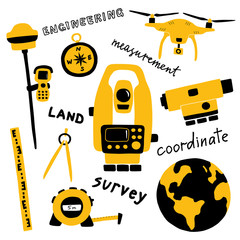
Geodetic measuring equipment, engineering technology for land area survey. Funny doodle hand drawn vector illustration. Isolated on white.
Modern Abstract Topographic map background with wave lines. Topographic map in contour black line on isolated white background. Vector illustration. paper texture Imitation of a geographical map shade

A male land surveyor at work with a robot theodolite on a tripod. Agricultural expert

old abandoned homeless robot in the city streets

survey engineer in construction site use theodolite mark a concrete pile co ordinate
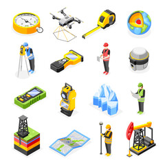
Geodesy Isometric Icons Collection

Surveyor of the particles. The silhouette of the surveyor consists of circles and points. Vector illustration.
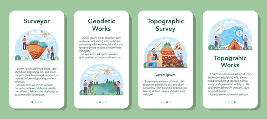
Surveyor mobile application banner set. Land surveying technology
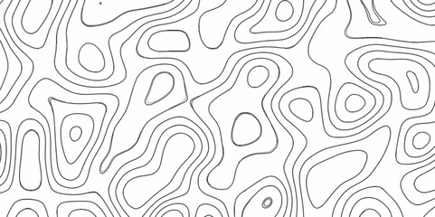
Vector contour topographic map background. Topography and geography map grid abstract backdrop. Business concept. Vector illustration
Geodesy, land registration and construction. Business card concept and advertising graphics for cars.

Under the bright sun, a woman in outdoor attire meticulously operates a theodolite, engaged in precise scientific measurement
Black and white abstract background vector, Abstract topographic contours map background. Topographic map and landscape terrain texture grid. Salmon fillet texture, fish pattern.

Surveyor builder site engineer with theodolite total station at construction site outdoors during surveying work
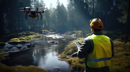
Inspection with Drone forest river
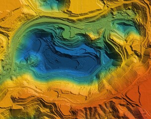
Digital elevation model. GIS product made after proccesing aerial pictures. It shows excavation site with steep rock walls that was mapped from a drone

A beautiful woman worker wearing a hat to prevent accidents, standing with her arms crossed, confident in the construction contract, housework
land surveying under blue sky

Photorealistic image of a surveyor at a construction site