
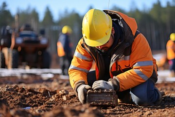
Engineer and worker looking at level-measuring instrument isolated on white background .
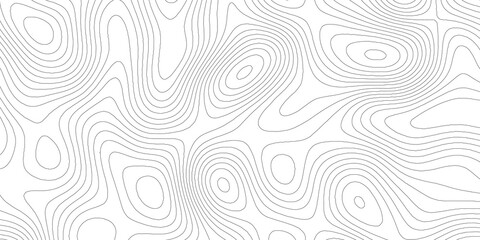
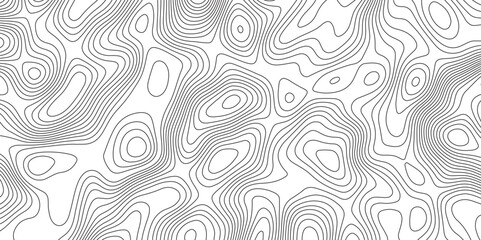
Modern Abstract Topographic map background with wave lines. Topographic map in contour black line on isolated white background. Vector illustration. paper texture Imitation of a geographical map shade
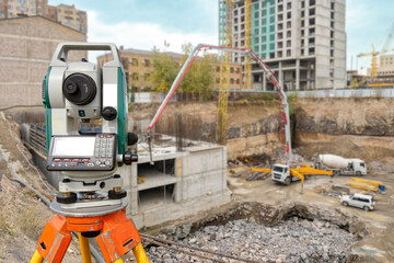
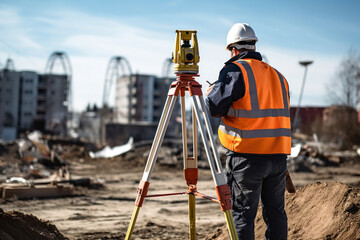
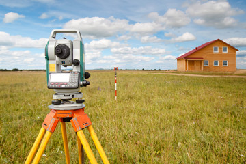
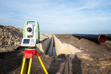
Surveyor equipment at construction site. Geodetic device on tripod. Optical theodolite near house under construction. Electronic surveyor tool. Equipment for measuring work in geodesy
Black and white abstract background vector, Abstract topographic contours map background. Topographic map and landscape terrain texture grid. Salmon fillet texture, fish pattern.
Map line of topography. Vector abstract topographic map concept with space for your copy

geodetic research line icon, outline symbol, vector illustration, concept sign

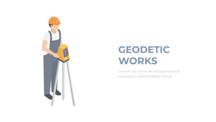
Business card concept for geodetic and cadastral work. Surveyor at the geodetic instrument

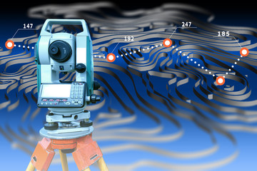
Surveyor Engineer Theodolite Total Station
測量士

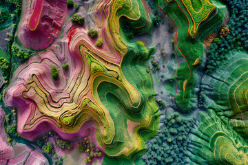
Geodetic lines of heights of the earth's surface

Important surveying on the construction site the foreman

survey engineer in construction site use theodolite mark a concrete pile co ordinate

A close-up view captures the precision of technology equipment used for measurement at a construction site. In focus is the robotic total station,
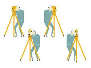
Isometric surveying engineer with equipment level theodolite on tripod isolated on white background. Professional engineer surveyor takes measures with theodolite. Construction geodetic concept.

Mining technician in the exploitation of a mine.
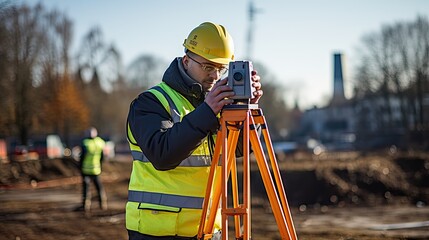
A surveyor builder engineer with theodolite transit equipment at construction site outdoors during surveying work.

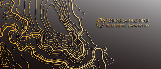
Vector Geodesy Topography Map Background with Color layered Artistic Line Texture Pattern with a Luxurious Touch

Project building

Surveyor builder Engineer with theodolite transit equipment at construction site outdoors during surveying work

engineering
worker in a safety vest and hard hat is utilizing a surveying instrument to measure a construction

Close-up Smartphone take a Mountians Landscape photo and video timelapse on stand
Geodetic work. Metering of land for sale.
Topographic contour map. Vector cartography illustration. Topography and geography map grid abstract backdrop. Business concept. Fish Fillet Texture, Salmon fillet texture, fish pattern. paper texture

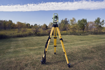
Surveyor equipment at construction site

Low poly 3D Earth surrounded by serene whitespace, minimalist design. Generated AI.

Vector modern landscape geodesy and topography map. Contour area map relief background. Abstract map relief outline grid
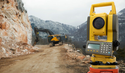
Theodolite (total positioning station) on a background of road construction in mountains

A theodolite survey instrument is set up on a tripod in the middle of an empty road for precise measurements.
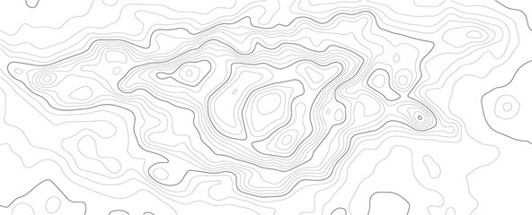
Topographic Map in Contour Line Light Topographic White seamless texture. Topography map pattern, Geographic curved, vector illustration.
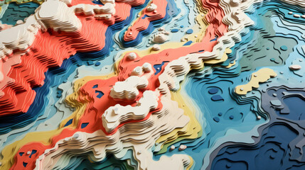
Abstract topographic map landscape. Paper cutout style of mountain and river

survey engineer in construction site use theodolite mark a concrete pile co ordinate
Map line of topography. Vector abstract topographic map concept with space for your copy. Black and white wave. Abstract paper cut. Abstract colorful waves. Wavy banners. Color geometric form
October surveying - instrument set in the field.

modern concrete and steel building construction site
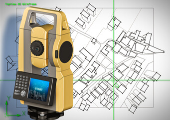
Imaginary cadastral map of territory with buildings and roads drawn with a CAD (Computer-Aided-Design) computer software in dwg format file and 3D rendering of a geodesic device, called Total Station

engineer site survey with laser tripod machine

Blueprints

Double exposer of constriction sector worker with a big copy space, Generative AI.
Vector Abstract Landscape Geodesy Topography Map Background, Dark Geographic Contour Map

Two workers performing geodesy surveyor to check architecture plan. Generative AI

Geography class web banner or landing page. Students learning
Cartography. Surveyor. Topographic map and theodolite. Work of the cartographer. Topography and cartography. Contour illustration of the landscape. Mapping. Study of terrain.
Topographic map contour background. Contour map vector. Map line of topography. Vector abstract topographic map concept with space for your copy. Wavy banners. Color geometric form
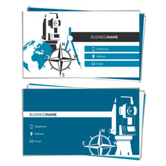
Business card concept of Geodesy and Cartography

Construction engineers working on building site
Geodesy contouring and. Topographic line map. Geography

Concept building industry background banner. Construction blueprints with tools and computer tablet with hard hat
A geologist uses technology to select soil as a sample. geodetic works.

civil engineer surveying a construction site generative ai

Male work building construction engineering occupation project

Silhouette Successful male engineer standing survey work on cons

A male surveyor builder engineer with theodolite transit equipment at construction site outdoors during surveying work.

A drone hovering over a construction site, capturing data for surveying and mapping purposes.

modern concrete and steel building construction site

surveyor logo , engineering logo vector

Theodolite logo design in retro style vector design illustration
Surveyor GPS system equipment at pipeline construction. Civil engineers surveyors measuring coordinates to precisely lay down pipe tubes for gas distribution in the ground.

Comprehensive Depiction of KP Index Variation Over Time: A Colorful, Detailed Graph
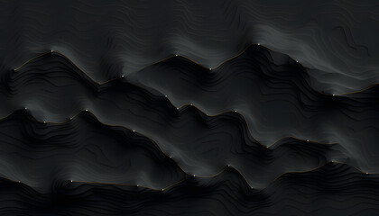
Abstract Dark Geodesy Topography Landscape Map Background

A man site engineer surveyor working with theodolite total station EDM equipment on a building construction site outdoors
Map of agricultural fields made with LIDAR technology. GIS product made from aerial data from a drone

Surveyor. Geodesic and cartographic equipment. Cartography. Geodesy. The use of theodolite in the construction. A study of the terrain. Work of a cadastral engineer.