
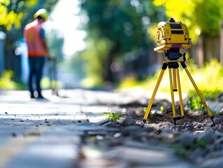
A male land surveyor at work with a robot theodolite on a tripod. Agricultural expert
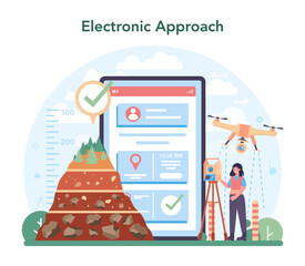
Surveyor online service or platform. Land surveying, geodesy science

A black drone hovers over a golden wheat field in the rays of the setting sun. Concept: technologies in agriculture, the use of drones in agricultural technology and for crop monitoring.

A surveyor's telescope sits atop a hill overlooking a sprawling construction site below. This strategic position allows for comprehensive surveying of the area, providing a bird's-eye
Agricultural terraces in aerial GIS data development. Map made in 3d scanning by Lidar
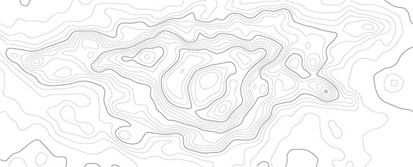
Geodesy contouring land Topographical line map Geographic mountain contours vector background
Elevation geodetic map of the mountainous region of the western highlands of Vietnam. BLACK AND WHITE GEOGRAPHIC BACKGROUND STYLE WITH STRONG CONTRAST COLORS SHOWING TEMPERATURE

Elegant floral watercolor with alcohol ink with theme.

Globe

Important surveying on the construction site the foreman

Surveyor builder Engineer with theodolite transit equipment at construction site outdoors during surveying work

Hand-painted Artwork. Liquid Silvery Design.

Surveyor builder Engineer with theodolite transit equipment at construction site outdoors during surveying work

Geodesist in orange vest measuring with a total station

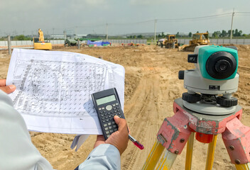
The achitecture plan in human hands
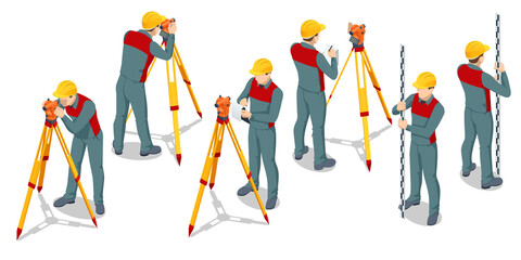
Isometric surveying measuring equipment level theodolite on tripod isolated on white background. Professional engineer surveyor takes measures with theodolite. Construction measuring tool

In the field during surveying work at construction site, theodolite transit equipment is used by a surveyor builder engineer
Surveyor equipment tacheometer or theodolite outdoors at construction site and construction worker in safety uniform
Vector landscape geodesy topography map background. Line texture pattern.

Concept banner industry business future building engineering project, double exposure graphic design and toning

Geodetic lines of heights of the earth's surface

Paper cut design concept for flyers, presentations and posters. abstract topographic map concept with space for your copy. 3D Cartography concep background. Map mockup infographics. Wavy backdrop
Struve Geodetic Арк for measuring the land in the wheat field of Ukraine.

A surveyor's telescope, mounted on a tripod, stands firmly on the uneven ground of a bustling construction site. The precise instrument is aimed towards a distant point, under the watchful eye
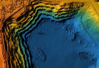
Digital elevation model. GIS product made after proccesing aerial pictures. It shows excavation site with steep rock walls that was mapped from a drone
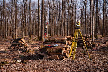
Geodesy, theodolite on a tripod in forest

modern concrete and steel building construction site
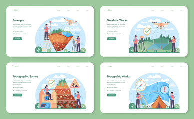
Surveyor web banner or landing page set. Land surveying technology

Drone soaring above mountain peaks with cloudy skies

Important surveying on the construction site the foreman
100 tool icons set. Outline illustration of 100 tool icons vector set isolated on white background

Elegant floral watercolor with alcohol ink with theme.

land surveying logo icon and vector

toy robot toy

House designer

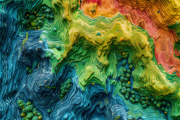
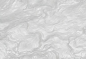
Topographic map background geographic line map with elevation assignments. Modern design with White background with topographic wavy pattern design.paper texture Imitation of a geographical map shades

Crane and building site under construction against blue sky
Surveyor equipment at construction site

Vector abstract landscape geodesy topography map background. Art Line texture pattern.
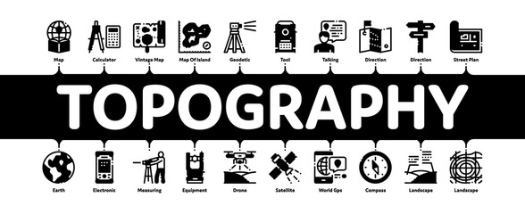
Topography Research Minimal Infographic Web Banner Vector. Topography Equipment And Device, Compass And Calculator, Satellite And Phone, Drone Illustrations

Geodetic lines of heights of the earth's surface
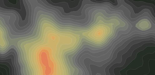
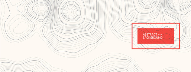
Topographic map contour background. Contour map vector. Map line of topography. Vector abstract topographic map concept with space for your copy. Wavy banners. Color geometric form

Abstract Dark background with black topo and luxury black abstract line art background vector. Topographic background and texture with monochrome 3D waves, contour Abstract topographic contours map
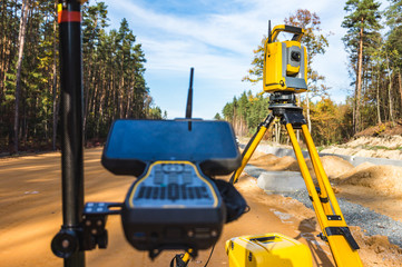
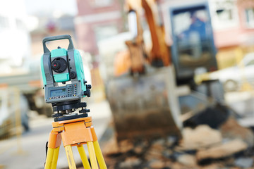
Surveyors equipment (theodolite or total positioning station) on the construction site of the road or building with construction machinery background

construction site and geodetist, cranes and scaffoldings
cadastral survey

Construction Surveyor with Theodolite, Precision Measurement on Site
Geology Researching Onboarding Mobile App Page Screen Vector. Gyro Theodolite And And Laser Level, Field Controller And Thermal Imager Geology Equipment Illustrations

Workers are working on large construction sites and many cranes are working in the construction industry.

Closeup portrait of a Surveyor builder site engineer with theodolite total station at construction site outdoors during surveying work

Geologys depths Coal black texture sets the stage for a dark background
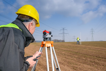
Geodesist measure land speak transmitter

Engineering and surveing services line icons, signs set, vector. Engineering and surveing services outline concept illustration: flat,engineering,survey,technology,deset

A black drone hovers over a golden wheat field in the rays of the setting sun. Concept: technologies in agriculture, the use of drones in agricultural technology and for crop monitoring.

Architecture project building
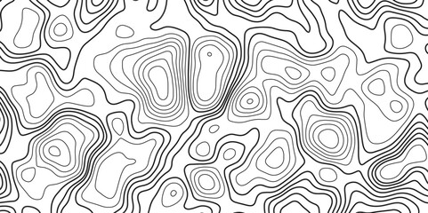
Topographic map background geographic line map with elevation assignments. Modern design with White background with topographic wavy pattern design.paper texture Imitation of a geographical map shades
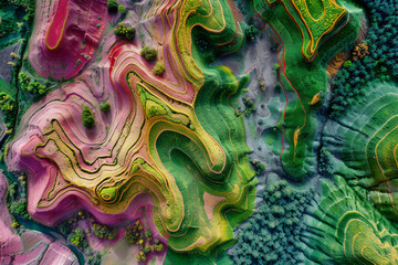
Map of agricultural fields made with LIDAR technology. GIS product made from aerial data from a drone
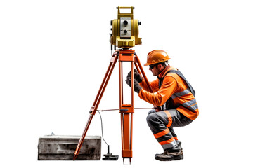
Surveyor builder Engineer with theodolite transit equipment at construction site outdoors during surveying work. Generative Ai.
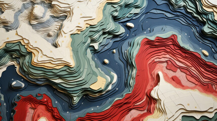
Abstract topographic map landscape. Paper cutout style of mountain and river

Surface logo template. Lined field abstract logo template. Abstract stripes line wavy field pattern. Topography logo. Relief logo. Mesh surface. Geology layers. Topographic line map.

An inspector in a helmet uses a geodetic device to focus the terrain for future construction according to the project. World surveyors day concept.
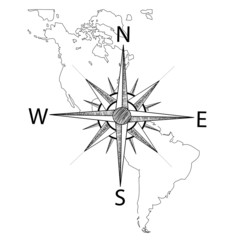
Vector compass on the map of America
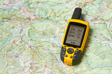
gps-geodesia