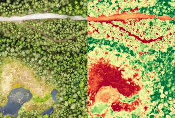
Aerial orthomosaic and NDVI image of boggy forest
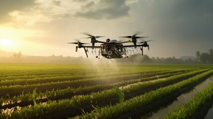
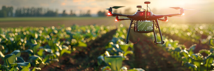
Smart agriculture farm using drones for crop monitoring and irrigation.
drones that cultivate the field
Drone hovering over alpine search area background with empty space for text
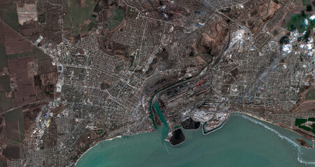
Satellite image of Mariupol, taken on March 29, 2022. Contains modified Copernicus Sentinel data (2022).

Earth satellite
Aerial view of the GEO600 interferometer near Sarstedt, Germany

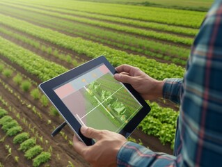
two people looking at a tablet in a field of wheat. sunset horizon Generative AI
Revolutionary AI-Enabled Drone for Efficient Agrochemical Application. Generative AI.

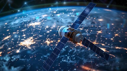
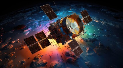
A satellite orbiting the planet Earth
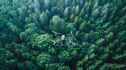
Drone captures forest canopy absorbing co2 green trees for carbon neutrality and net zero emissions
Orbiting Satellite in Space. AI
modern satellite spacecraft orbiting the Earth. The satellite tracks the Earth. Space technology Exploring the Skies: Modern Satellite Spacecraft and Earth Orbit Tracking AI Generated
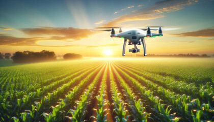
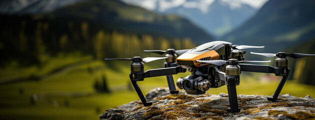
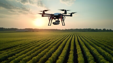
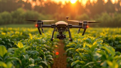
agricultural drone flying over a lush green cornfield at sunrise. The drone should have a sophisticated design,
Drone monitoring crops and smart agriculture in a digital farming. Generative AI
a drone is flying over a field full of vegetable plants

A space satellite orbiting earth Transmitting data signals
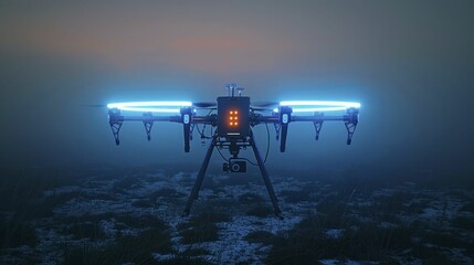
A neon blue high-altitude drone station gathers data for climate research at high altitudes.
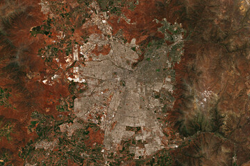
High resolution satellite image Santiago de Chile, the capital of Chile - contains modified Copernicus Sentinel Data (2022)

Communication between the vast array of satellites. Generative AI
Photorealistic Satellite in Orbit over the Earth
Remote sensing satellites solid color background
Dynamic IoT agriculture concept: agronomist using AI software to control farm robotics and machinery. generative ai
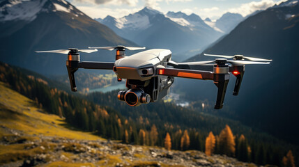
Thermal imaging drone over alpine terrain background with empty space for text

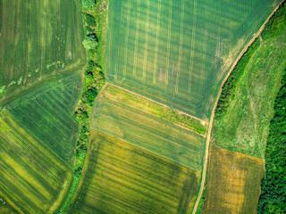
Geoinformatics and Geospatial Analysis - Conceptual Illustration

earth in the sky, A satellite a sentinel orbiting earth capturing its beauty and secrets,

satellite orbiting Earth in outer space. Generative AI
drone aerial vehicles
drones that cultivate the field
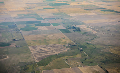
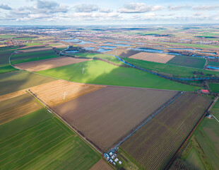
Aerial view of pivot irrigation on farms in Colorado, USA.

Precision Livestock Farming precision livestock, Cow on the pasture

smart blue digital hologram drone with camera , ai in aerial surveillance systems, autonomous flight navigation, remote sensing technologies, and disaster response coordination.
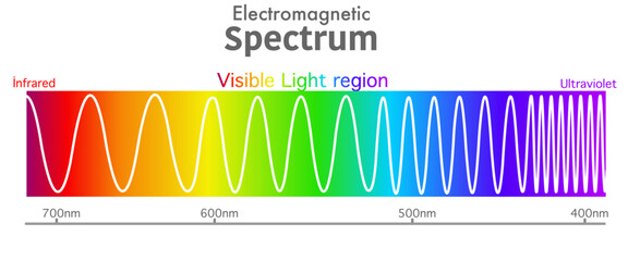
Visible electromagnetic spectrum diagram. Ultraviolet to infrared radiation. Wavelength range. Red, orange, yellow, green, blue, purple, violet color light, rainbow. Ultra violet to infra red. Vector

Satellite in orbit around the earth created with generative ai technology

Planet earth with satellite
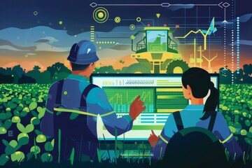
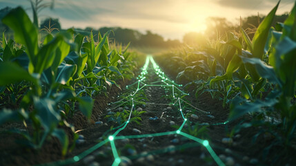
illustration of Tech analyse in Agriculture
Agriculture drone inspecting the harvest. Ai generative
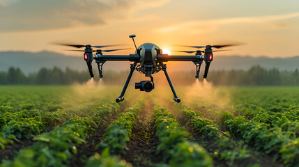
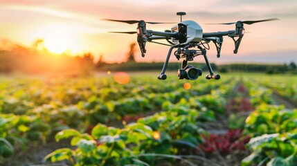
Agricultural drone in action, flying above a field. Precision farming by monitoring crop health, improving water efficiency and reducing chemical usage. Sustainable agriculture. Generative AI
High resolution satellite image of João Vieira-Poilão Islands Marine National Park and the West Coast of Guinea Bissau - contains modified Copernicus Sentinel Data (2020)
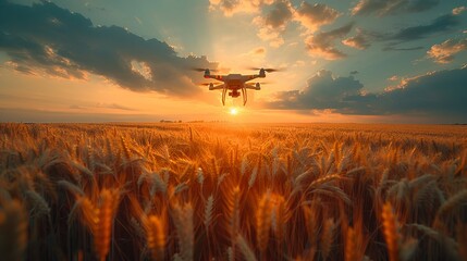
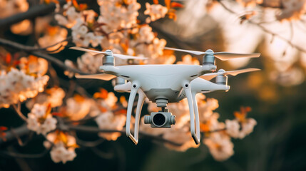
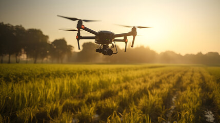
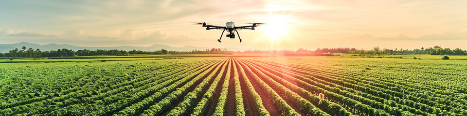
A black drone hovers over a golden wheat field in the rays of the setting sun. Concept: technologies in agriculture, the use of drones in agricultural technology and for crop monitoring.
Precision Agriculture Technology: Drone flying over agriculture land. Innovative tools, optimizing farming practices, using data for precise resource allocation.
Innovative agricultural scene, drones monitoring crops, smart farming techniques, vibrant greenery

Space satellite, Generative AI

Thermal imaging drone over alpine terrain background with empty space for text
Drone's Eye View: A New Perspective on Agricultural Patterns. Aerial Agriculture: Uncovering Patterns from Above.

Advanced Orbital Satellite in Earth's Atmosphere
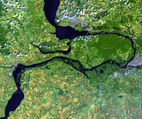
Volga river from Landsat satellite. Elements of this image furnished by NASA.
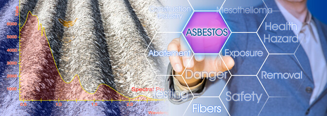
Mapping of asbestos-cement roof with graph from the Multispectral Infrared and Visible Imaging Spectrometer sensor - concept image
drones that cultivate the field
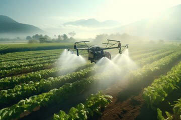
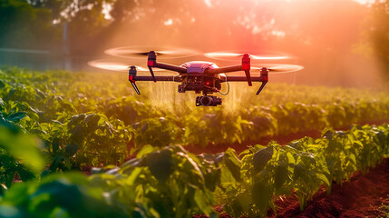
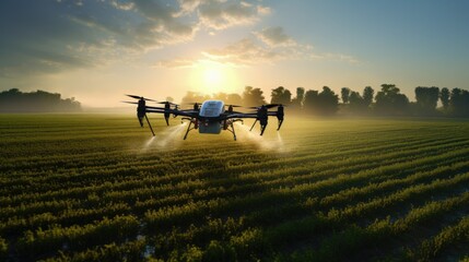
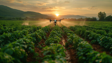
High-tech drone spraying crops in the early morning light, a modern farm scene
Unmanned Irrigation: Drones Redefine Agricultural Water Management,generated by IA
An unmanned drone flies over a field with a crop Smart innovation technologies

High top down aerial image from space. Mountains, greenfield beautiful cumulus clouds, shoreline and ocean. High resolution image from space. Sunny morning or afternoon with sharp shadows.

Satellite in orbit around the earth created with generative ai technology
Revolutionize farming with holographic tech in corn fields. Precision agriculture integrates data for efficient crop management and yield optimization.

illustration of Tech analyse in Agriculture
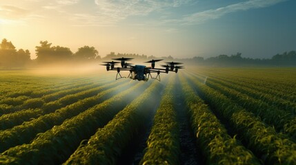
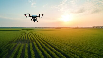
Flying Drone Over Agricultural Fields, highlighting modern farming and technology

smart digital yellow drone with camera , binary code ai in aerial surveillance systems, autonomous flight navigation, remote sensing technologies, and disaster response coordination.

Earth from space showing Europe and Africa at night
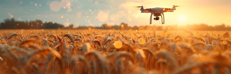
A black drone hovers over a golden wheat field in the rays of the setting sun. Concept: technologies in agriculture, the use of drones in agricultural technology and for crop monitoring.
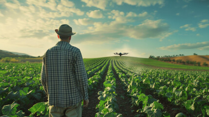
A Farmer Using Drone Technology on the Farm for analyze seed growing

Computational Coral Reefs. Abstract Underwater Worlds of Data Diversity.

Frozen Ocean Depths Generative AI