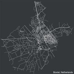
Detailed hand-drawn navigational urban street roads map of the Dutch city of BOXTEL, NETHERLANDS with solid road lines and name tag on vintage background
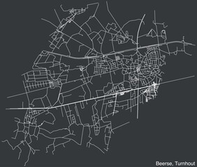
Detailed hand-drawn navigational urban street roads map of the BEERSE COMMUNE of the Belgian municipality of TURNHOUT, Belgium with vivid road lines and name tag on solid background

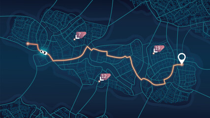
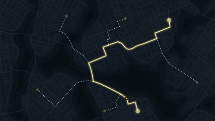
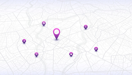
Multiple destinations from home. Gps tracking map. Track navigation pins on street maps, navigate mapping technology and locate position pin. Futuristic travel gps map or location navigator vector
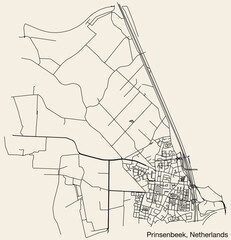
Detailed hand-drawn navigational urban street roads map of the Dutch city of PRINSENBEEK, NETHERLANDS with solid road lines and name tag on vintage background
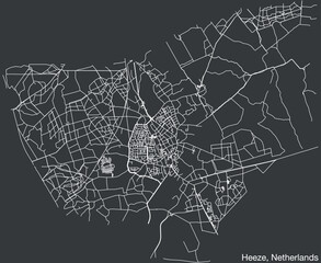
Detailed hand-drawn navigational urban street roads map of the Dutch city of HEEZE, NETHERLANDS with solid road lines and name tag on vintage background
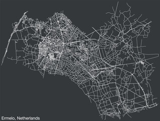
Detailed hand-drawn navigational urban street roads map of the Dutch city of ERMELO, NETHERLANDS with solid road lines and name tag on vintage background
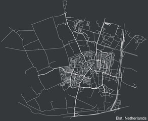
Detailed hand-drawn navigational urban street roads map of the Dutch city of ELST, NETHERLANDS with solid road lines and name tag on vintage background
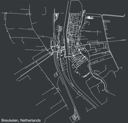
Detailed hand-drawn navigational urban street roads map of the Dutch city of BREUKELEN, NETHERLANDS with solid road lines and name tag on vintage background
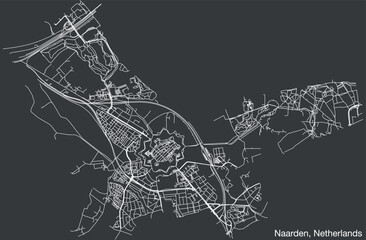
Detailed hand-drawn navigational urban street roads map of the Dutch city of NAARDEN, NETHERLANDS with solid road lines and name tag on vintage background
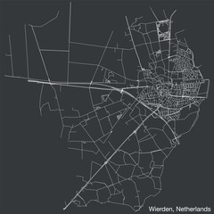
Detailed hand-drawn navigational urban street roads map of the Dutch city of WIERDEN, NETHERLANDS with solid road lines and name tag on vintage background

Detailed hand-drawn navigational urban street roads map of the APPELS COMMUNITY of the Belgian municipality of DENDERMONDE, Belgium with vivid road lines and name tag on solid background
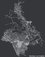
Detailed hand-drawn navigational urban street roads map of the CITY OF GLENDALE of the American LOS ANGELES CITY COUNCIL, UNITED STATES with vivid road lines and name tag on solid background
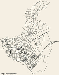
Detailed hand-drawn navigational urban street roads map of the Dutch city of VELP, NETHERLANDS with solid road lines and name tag on vintage background
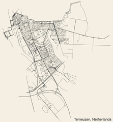
Detailed hand-drawn navigational urban street roads map of the Dutch city of TERNEUZEN, NETHERLANDS with solid road lines and name tag on vintage background
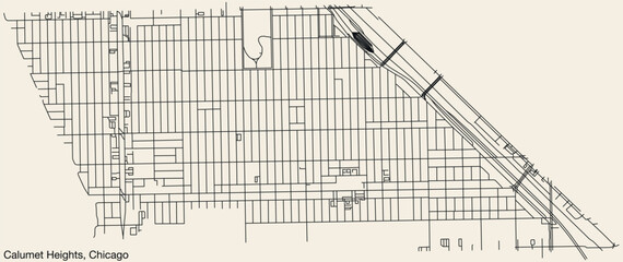
Detailed hand-drawn navigational urban street roads map of the CALUMET HEIGHTS COMMUNITY AREA of the American city of CHICAGO, ILLINOIS with vivid road lines and name tag on solid background
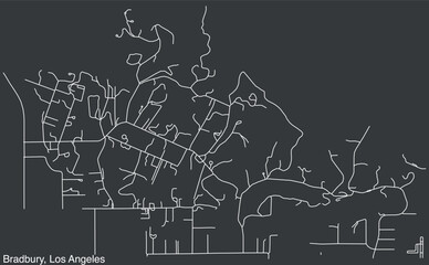
Detailed hand-drawn navigational urban street roads map of the CITY OF BRADBURY of the American LOS ANGELES CITY COUNCIL, UNITED STATES with vivid road lines and name tag on solid background
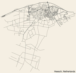
Detailed hand-drawn navigational urban street roads map of the Dutch city of HEESCH, NETHERLANDS with solid road lines and name tag on vintage background
Abstract navigation plan of urban area. Generic city map with signs of streets, roads, house. Simple scheme of city with poi. Colored flat, editable vector illustration

High-quality, customizable, abstract map background. Transportation and roads. Digital art. Editable isometric vector illustration. Abstract lines geometric shapes, cartographic texture Navigation pin
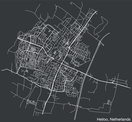
Detailed hand-drawn navigational urban street roads map of the Dutch city of HEILOO, NETHERLANDS with solid road lines and name tag on vintage background
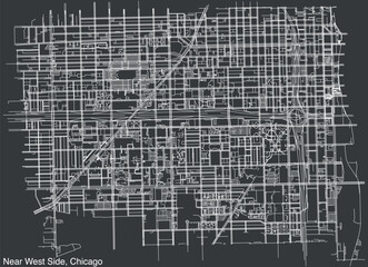
Detailed hand-drawn navigational urban street roads map of the NEAR WEST SIDE COMMUNITY AREA of the American city of CHICAGO, ILLINOIS with vivid road lines and name tag on solid background
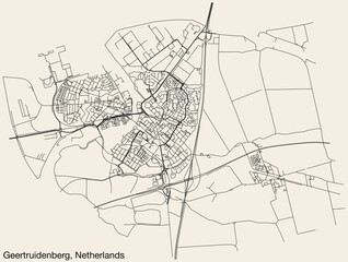
Detailed hand-drawn navigational urban street roads map of the Dutch city of GEERTRUIDENBERG, NETHERLANDS with solid road lines and name tag on vintage background
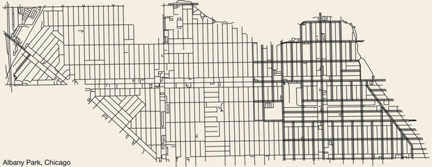
Detailed hand-drawn navigational urban street roads map of the ALBANY PARK COMMUNITY AREA of the American city of CHICAGO, ILLINOIS with vivid road lines and name tag on solid background
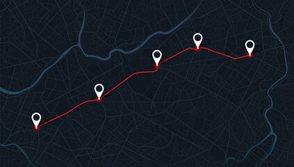
Multiple destinations from home. Gps tracking map. Track navigation pins on street maps, navigate mapping technology and locate position pin. Futuristic travel gps map or location navigator vector
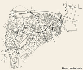
Detailed hand-drawn navigational urban street roads map of the Dutch city of BAARN, NETHERLANDS with solid road lines and name tag on vintage background
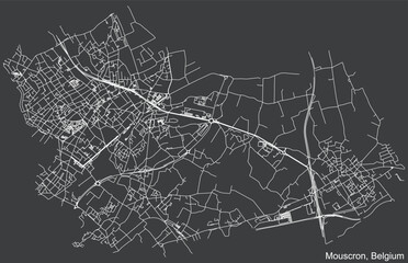
Detailed hand-drawn navigational urban street roads map of the Belgian city of MOUSCRON, BELGIUM with solid road lines and name tag on vintage background
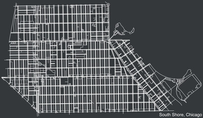
Detailed hand drawn navigational urban street roads map of the SOUTH SHORE COMMUNITY AREA of the American city of CHICAGO, ILLINOIS with vivid road lines and name tag on solid background
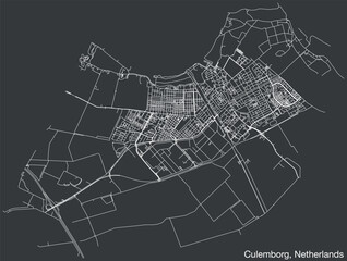
Detailed hand-drawn navigational urban street roads map of the Dutch city of CULEMBORG, NETHERLANDS with solid road lines and name tag on vintage background
An abstract navigation plan highlights POI including city streets, blocks. City map featuring directional signs, an intended goal point and multiple markers. Editable vector illustration
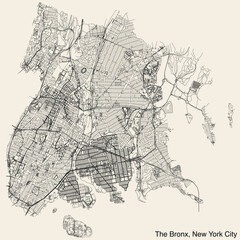
Detailed hand-drawn navigational urban street roads map of THE BRONX BOROUGH of the American city of NEW YORK CITY, UNITED STATES with vivid road lines and name tag on solid background

Abstract navigation plan of urban area. Generic city map with signs of streets, roads, house. Simple scheme of city with poi. Colored flat, editable vector illustration
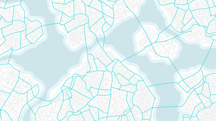
Blue city area, background map, streets. Skyline urban panorama. Cartography illustration. Abstract transportation background, street map. Widescreen proportion, digital design street map. Vector

Stone hill in the shape of a giant skull on a pirate island, fantasy concept.
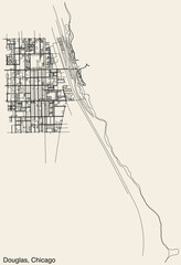
Detailed hand-drawn navigational urban street roads map of the DOUGLAS COMMUNITY AREA of the American city of CHICAGO, ILLINOIS with vivid road lines and name tag on solid background
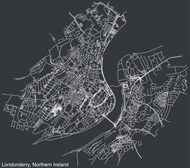
Detailed hand-drawn navigational urban street roads map of the United Kingdom city township of LONDONDERRY, NORTHERN IRELAND with vivid road lines and name tag on solid background
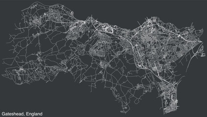
Detailed hand-drawn navigational urban street roads map of the United Kingdom city township of GATESHEAD, ENGLAND with vivid road lines and name tag on solid background
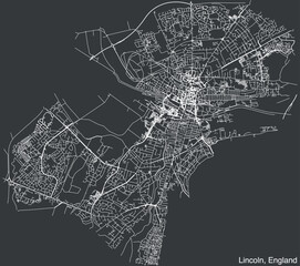
Detailed hand-drawn navigational urban street roads map of the United Kingdom city township of LINCOLN, ENGLAND with vivid road lines and name tag on solid background
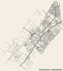
Detailed hand-drawn navigational urban street roads map of the Dutch city of VOORSCHOTEN, NETHERLANDS with solid road lines and name tag on vintage background
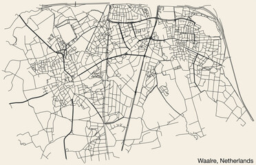
Detailed hand-drawn navigational urban street roads map of the Dutch city of WAALRE, NETHERLANDS with solid road lines and name tag on vintage background
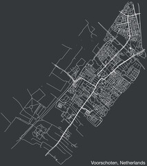
Detailed hand-drawn navigational urban street roads map of the Dutch city of VOORSCHOTEN, NETHERLANDS with solid road lines and name tag on vintage background
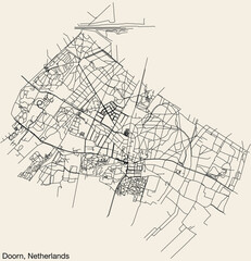
Detailed hand-drawn navigational urban street roads map of the Dutch city of DOORN, NETHERLANDS with solid road lines and name tag on vintage background
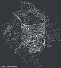
Detailed hand-drawn navigational urban street roads map of the Dutch city of UDEN, NETHERLANDS with solid road lines and name tag on vintage background
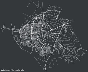
Detailed hand-drawn navigational urban street roads map of the Dutch city of WIJCHEN, NETHERLANDS with solid road lines and name tag on vintage background
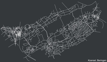
Detailed hand-drawn navigational urban street roads map of the KOERSEL COMMUNE of the Belgian municipality of BERINGEN, Belgium with vivid road lines and name tag on solid background
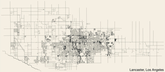
Detailed hand-drawn navigational urban street roads map of the CITY OF LANCASTER of the American LOS ANGELES CITY COUNCIL, UNITED STATES with vivid road lines and name tag on solid background

Stone hill in the shape of a giant skull on a pirate island, with anchored galleon, fantasy concept.
City map featuring directional signs, an intended goal point, and multiple markers. An abstract navigation plan highlights including city streets, blocks. Editable vector illustration
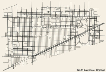
Detailed hand-drawn navigational urban street roads map of the NORTH LAWNDALE COMMUNITY AREA of the American city of CHICAGO, ILLINOIS with vivid road lines and name tag on solid background
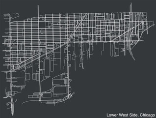
Detailed hand-drawn navigational urban street roads map of the LOWER WEST SIDE COMMUNITY AREA of the American city of CHICAGO, ILLINOIS with vivid road lines and name tag on solid background
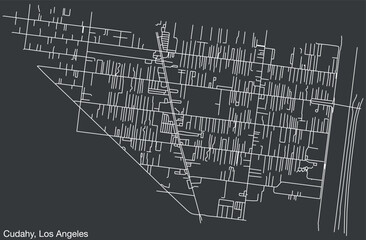
Detailed hand-drawn navigational urban street roads map of the CITY OF CUDAHY of the American LOS ANGELES CITY COUNCIL, UNITED STATES with vivid road lines and name tag on solid background
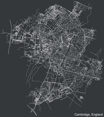
Detailed hand-drawn navigational urban street roads map of the United Kingdom city township of CAMBRIDGE, ENGLAND with vivid road lines and name tag on solid background
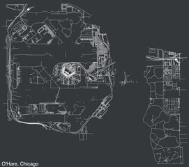
Detailed hand-drawn navigational urban street roads map of the O'HARE COMMUNITY AREA of the American city of CHICAGO, ILLINOIS with vivid road lines and name tag on solid background
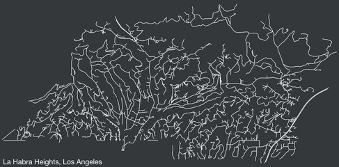
Detailed hand-drawn navigational urban street roads map of the CITY OF LA HABRA HEIGHTS of the American LOS ANGELES CITY COUNCIL, UNITED STATES with vivid road lines and name tag on solid background
Track navigation pins on isometric street maps, navigate mapping technology, locate position pin. Multiple destinations. Gps tracking map. Futuristic travel gps map or location navigator vector
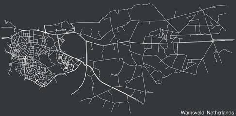
Detailed hand-drawn navigational urban street roads map of the Dutch city of WARNSVELD, NETHERLANDS with solid road lines and name tag on vintage background
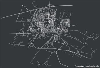
Detailed hand-drawn navigational urban street roads map of the Dutch city of FRANEKER, NETHERLANDS with solid road lines and name tag on vintage background

Chart a course through the digital landscape with navigational gradient lines in a single wave style isolated on solid white background

Chart a course through the digital landscape with navigational gradient lines in a single wave style isolated on solid white background

Chart a course through the digital landscape with navigational gradient lines in a single wave style isolated on solid white background
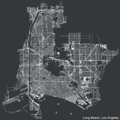
Detailed hand-drawn navigational urban street roads map of the CITY OF LONG BEACH of the American LOS ANGELES CITY COUNCIL, UNITED STATES with vivid road lines and name tag on solid background
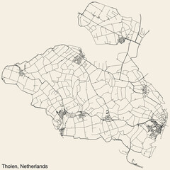
Detailed hand-drawn navigational urban street roads map of the Dutch city of THOLEN, NETHERLANDS with solid road lines and name tag on vintage background
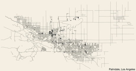
Detailed hand-drawn navigational urban street roads map of the CITY OF PALMDALE of the American LOS ANGELES CITY COUNCIL, UNITED STATES with vivid road lines and name tag on solid background
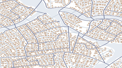
Concept of planning and mapping a travel route using general city map with streets, roads marked. Abstract navigation plan of the urban area depicted as a simple scheme. Isometric vector illustration