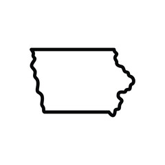
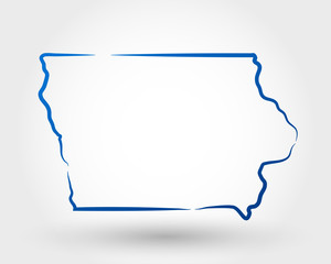
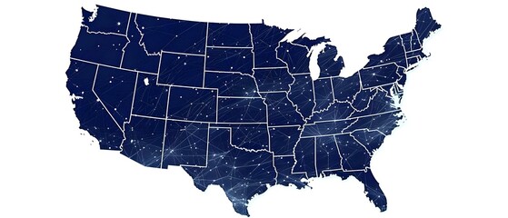
Iowa Map Black | State Border | United States | US America | Transparent Isolated | Variations
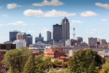
Des Moines, Iowa City Skyline at SUnset
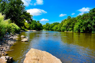
Horseshoe Bend State Park in Iowa in the Summer of 2020
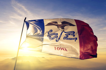
Iowa state of United States flag waving on the top sunrise mist fog
Iowa black map on white background vector
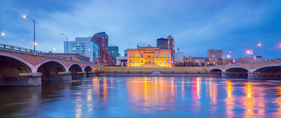
Des Moines Iowa skyline in USA
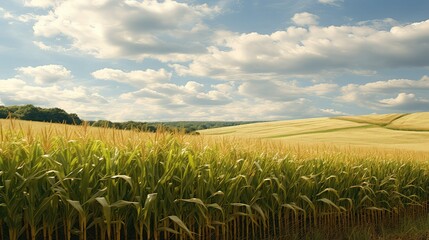
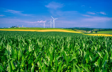
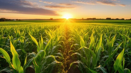
field iowa cornfields agricultural illustration corn rural, landscape agriculture, sky green field iowa cornfields agricultural
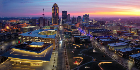
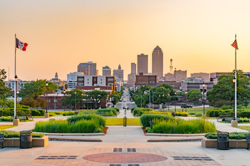
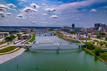
Aerial of Downtown Des Moines at Sunrise
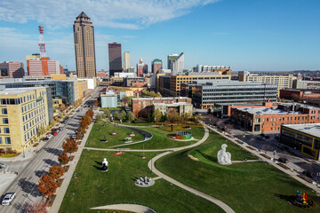
Des Moines Papa John Sculpture Park Aerial
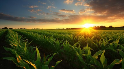
harvest corn field iowa
Black line icon for iowa usa
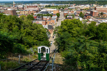
View of fenelon place elevator on a sunny day in Dubuque city, Iowa, United States
iowa
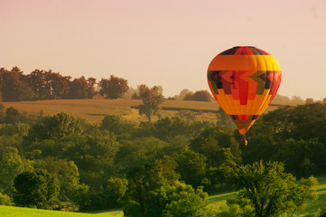
A hot air balloon floats above an Iowa rural landscape.
IOWA CORN
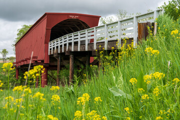
Roseman Covered Bridge near Winterset, Madison County, along the Covered Bridges Scenic Byway, Iowa
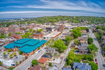
Mason City Iowa East Park
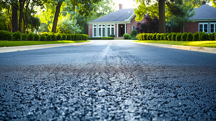
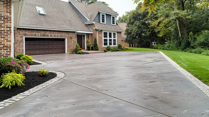
smooth concrete driveway in des moines iowa
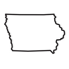
black outline of Iowa map- vector illustration
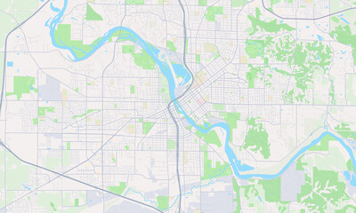
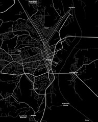
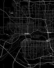
Cedar Rapids Iowa Map, Detailed Map of Cedar Rapids Iowa
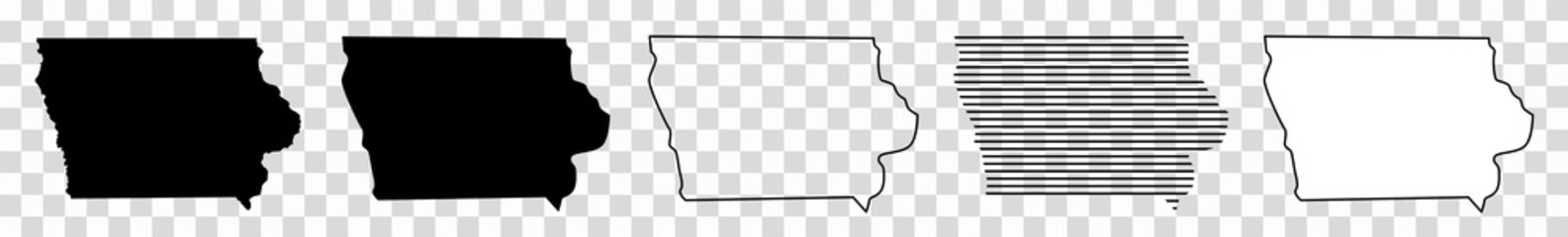
Iowa Map Black | State Border | United States | US America | Transparent Isolated | Variations
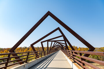
Bike trail Iowa
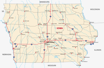
iowa road map
doodle freehand drawing of iowa state map.
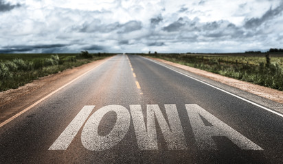
Iowa written on the road
Des Moines Iowa skyline in USA

The silhouette of a person riding a skateboard with orange wheels at sunset at University of Northern Iowa.
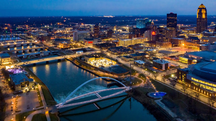
Aerial View of the Des Moines River and Skyline at Night
Aerial View of Downtown Council Bluffs, Iowa
farming iowa corn field
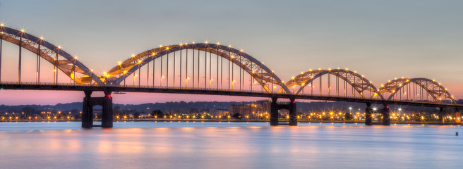
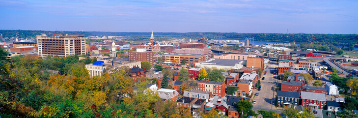
Centennial Bridge across the Mississippi River at dusk between Rock Island, Illinois and Davenport, Iowa
scenic views around des moines iowa city downtown
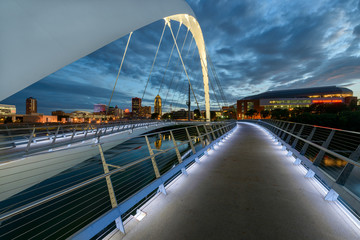
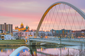
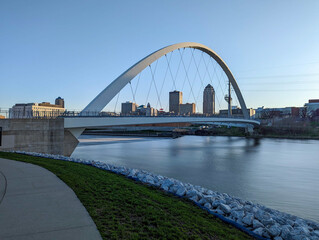
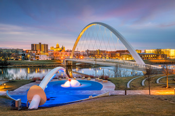
Iowa Women of Achievement Bridge
Eagle Point Park, Dubuque, Iowa
Des Moines, Iowa
Aerial view of the Midwest USA in autumn. Rural landscape, countryside. Farmland, Agriculture field
Simplistic Geometric US Map Highlighting Iowa. Concept Geometric Design, Minimalist Style, US Map, Highlighting Iowa
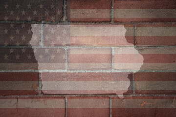
map of iowa state on a painted flag of united states of america on a brick wall
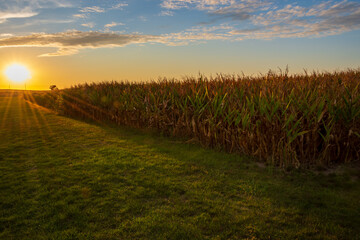
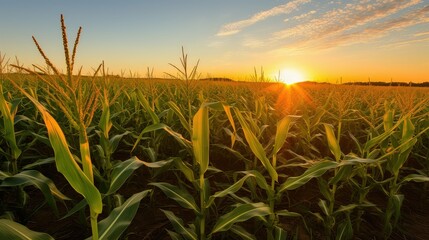
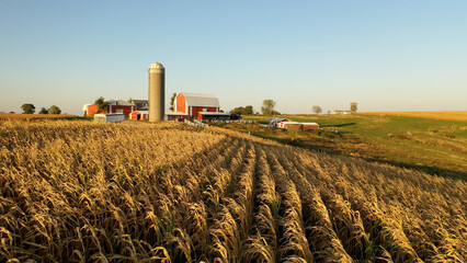
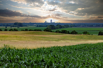
A setting sun highlights harvest ready corn plants.
Dubuque Iowa Map, Detailed Dark Map of Dubuque Iowa
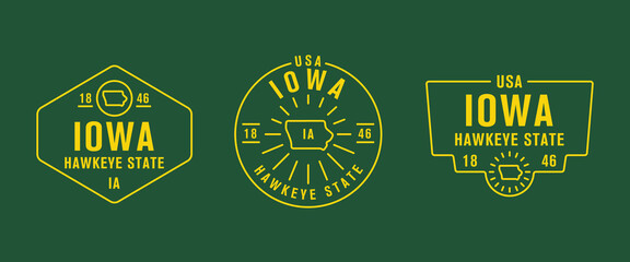
Iowa - Hawkeye State. Iowa state logo, label, poster. Vintage poster. Print for T-shirt, typography. Vector illustration
3d illustration of set Miscanthus Sinensis bush isolated on transparent background
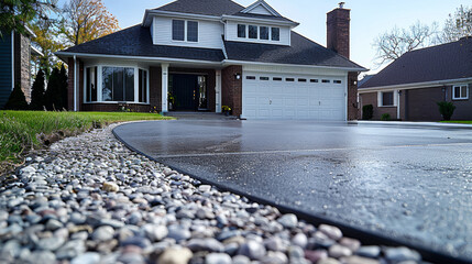
smooth concrete driveway in des moines iowa
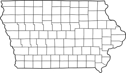
doodle freehand drawing of iowa state map.
Iowa map shape, united states of america. Flat concept icon symbol vector illustration
Des Moines Iowa skyline in USA
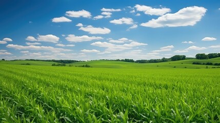
rural iowa cornfields agricultural illustration landscape agriculture, sky green, farmland farm rural iowa cornfields agricultural
Des Moines skyline visible across farm fields in rural Iowa at sunrise.
Des Moines is the Urban Capitol of the the Rural State of Iowa
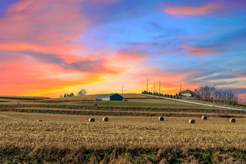
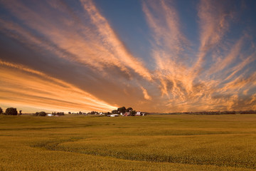
Twilight sunset over a golden field in the middle of Iowa along route 80 in the USA.
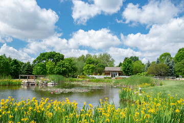
Reiman Gardens in Ames Iowa Midwest
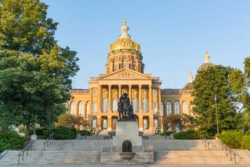
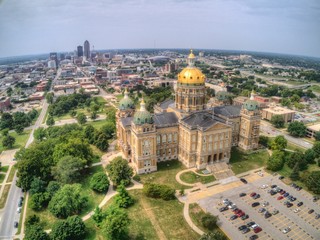
Iowa State Capitol Building
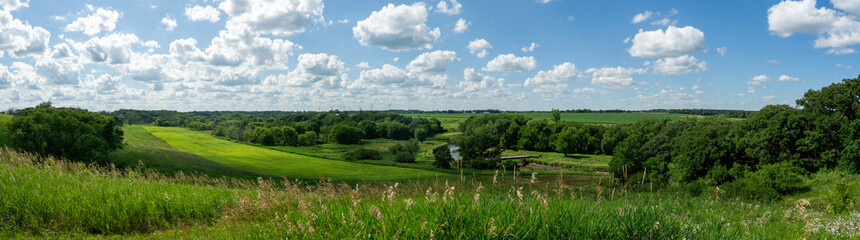
Midwest of America - Rural America in High Summer. Iowa, Wisconsin, Illinois, Ohio, Minnesota
farming corn field iowa

Calendar reminder about the Iowa Republican Caucus for the 2024 US Presidential election on Monday, January 15, 2024.
Aerial shot of the Iowa Women of Achievement Bridge in Downtown Des Moines, Iowa
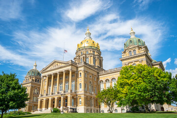
Iowa State Capitol
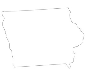
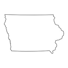
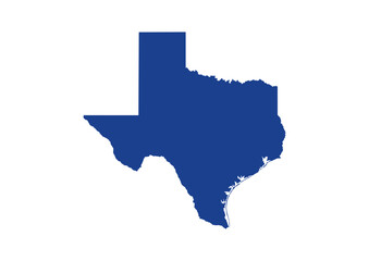
Iowa state map. Map of the U.S. state of Iowa.
smooth concrete driveway in des moines iowa
Davenport Iowa Map, Detailed Dark Map of Davenport Iowa
Iowa State Map. Vector Design illustration
![iowa gay pride home vector state map [Converted] - obrazy, fototapety, plakaty](https://t3.ftcdn.net/jpg/05/69/77/18/240_F_569771825_eCvOzbYDVDfZentmLh2q1RLr98v7tFvE.jpg)
iowa gay pride home vector state map [Converted]
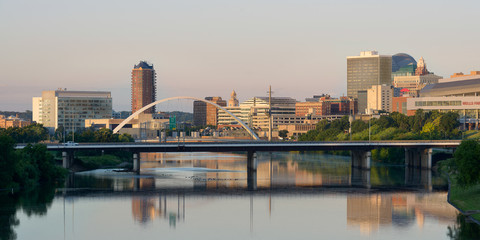
Downtown Des Moines and the Des Moines River