
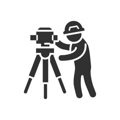
Surveying Icon

A digital information network spreading throughout the planet is created with the help of a space satellite. This network project includes 3D rendering for visual effects

Geodetic device gps and rolls of boundary plans. Symbol for a surveyor engineer
測量する作業員
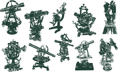
Old Theodolite , vintage engraved illustration. Theodolite isolated on white. Theodolite a measuring instrument
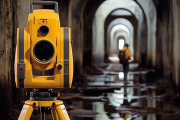
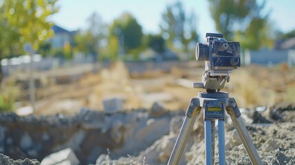
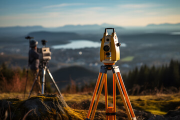
The construction of the tunnel Survey engineers use theodolite Total Station, robotic total station or 3D Laser Scanner.

X-ray alcohol ink. Blue microscopy universe. geodesy pattern with space effect. Blue violet alcohol ink abstract background.

Surveyor concept. Geodesy science , land surveying technology
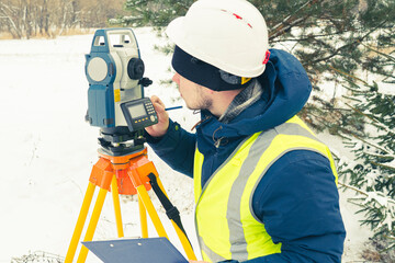
a man in a helmet and theodolite

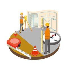
Surveyor engineer at work. Theodolite total station, surveying topographic equipment, professional geodetic tool, measurement device, tacheometer. Flat vector illustration isolated on white background
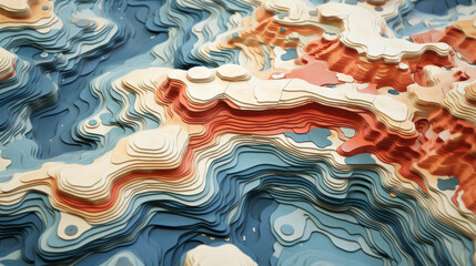
Abstract topographic map landscape. Paper cutout style of mountain and river
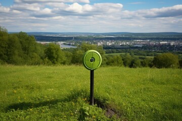
survey marker on the top of a hill in a public park
Yellow laser level on a tripod isolated on a white background

industry sites working background construction view apartment architecture working area safety block business security building many panorama large new activity cranes worker
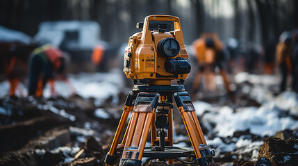
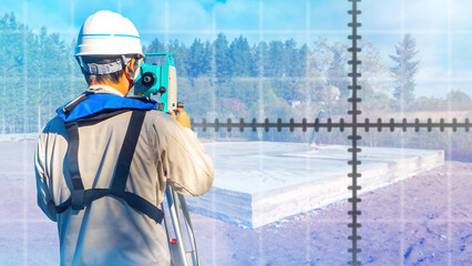
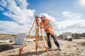
survey engineer in construction site use theodolite mark a concrete pile co ordinate

Close-up photo of a surveyor, a woman of European descent, dressed in a high-visibility vest, intently peering through a theodolite.
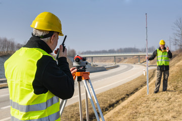
Geodesist measure land speak transmitter
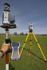
Robotic station with a prism pole and data collector

Important surveying on the construction site the foreman

Fun at work
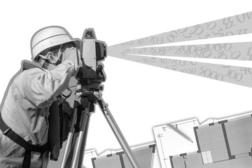
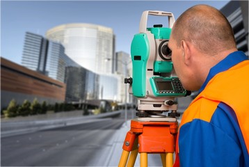
Professional surveyor engineer with a theodolite. Surveyor at work. Man uses Isometric geodetic measuring equipment on a tripod. Construction Measuring Tool. Black and white collage in magazine style

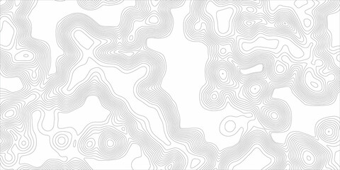
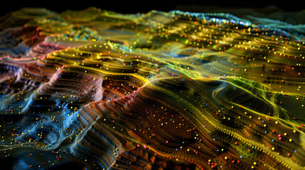
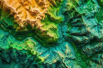
Vector abstract landscape geodesy topography map background. Art Line texture pattern.

Female site engineer surveyor working with theodolite total station EDM equipment on a building construction site outdoors
Abstract Topography Contour Lines Set. Organic Texture Shapes. Vector Topographic Illustration Collection
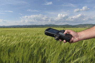
Wheat Field Hand Keyboard Geodesy
Surveyor.
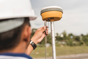
A surveyor sets up a Global Navigation Satellite System or GNSS Receiver. Real-time kinematic or RTK geodetic surveying equipment used in the field.

Backpacker trekking hiking with walking poles. Hiker
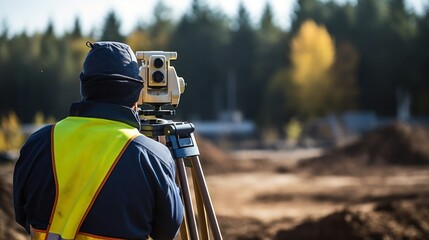
Land surveyor's theodolite focusing on new development site, tight shot, foundation phase, property precision
Topography and geography map grid abstract backdrop. Business concept. Topographic map lines background. Relief topographic map of the area with high-level contour contours and geodetic grid.

Abstract topographic style waves. Paper cutout art style of of rough sea or ocean waves
cadastral works with an electronic total station, a male cadastral engineer performs measurements with a tool for geodetic measurements on the ground selective focusing, tinting.
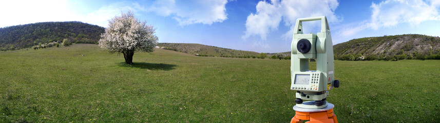
Theodolite survey outdoors
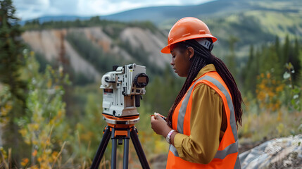
A female land surveyor working with a theodolite robot on a tripod. Agricultural expert
Surveyors working with digital level and tablet in the field. World Surveyors Day.

business building new industry working cranes many sites construction large working workers view panorama security safety activity apartment architecture area background block

Architecture model and plans
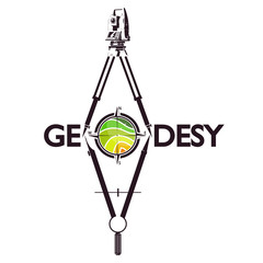
Vector logo of geodesy, design and topography
3D Graphical Representation of Kriging Method in Geostatistics

Exploring the World of Civil Engineering, Construction, and Teamwork
Man surveyor. Guy uses optical theodelite. Surveyor with his back to camera. Construction worker near foundation. Employee of geodetic company. Man surveyor controls work of foundation

Vector abstract landscape geodesy topography map background. Art Line texture pattern.

Abstract raspberry pink marble wallpaper for a soft background
Surveying instrument and compass symbol for engineer surveying land
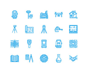
Geodetic survey engineering vector flat line icons. Geodesy equipment, tacheometer, theodolite, tripod. Geological research, building measurements. Construction service signs. Pixel perfect 64x64.
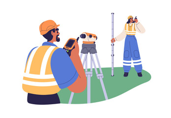
Surveyor engineers work with geodetic equipment. Building workers with theodolite, levelling pole and walkie-talkie, surveying measurement tools. Flat vector illustration isolated on white background
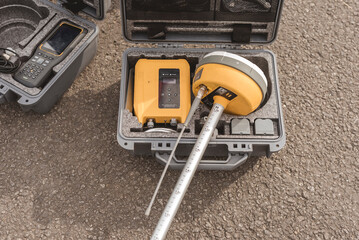
A Global Navigation Satellite System or GNSS Receiver in a hard case prior to being set up. Real-time kinematic or RTK geodetic surveying equipment used in the field.
Surveyor worker with theodolite equipment at construction site

Surveyors on construction site

A company logo
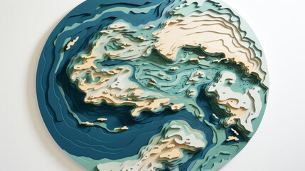
Abstract topographic map landscape. Paper cutout style of mountain and river
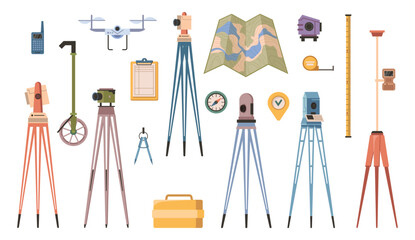
Surveyor or geodesy professional equipment. Vector flat cartoon, isolated map and measuring tape, tools and instrument for specialists. Geodesic tripod and walkie talkie, drone and cameras

Surveyor builder Engineer with theodolite transit equipment at construction site outdoors during surveying work.
Agricultural terraces in aerial GIS data development. Map made in 3d scanning by Lidar
A construction expert using Thedolite
Geodesy line icons, signs set, vector. Geodesy outline concept illustration: geodesy,engineering,equipment,construction,survey,detechnology

Land survey and civil engineer working with his equipm

Surveyor concept. Land surveying technology, geodesy science

3D Graphical Representation of Kriging Method in Geostatistics

Set of 44 line icons related to different types of construction works. Kinds of building activities, occupation. Editable Stroke. outline collection. Repair, Renovation, Work Tools, Materials
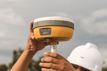
An engineer sets up a Global Navigation Satellite System or GNSS Receiver. Real-time kinematic or RTK geodetic surveying equipment used in the field.
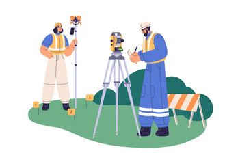
Surveyor engineers work with total station theodolite and prism reflector pole, geodesy stick for precise measurement. Workers, surveying tools. Flat vector illustration isolated on white background

Digital elevation model. GIS product made after proccesing aerial pictures. It shows excavation site with steep rock walls that was mapped from a drone